PWC – A growing appetite for geospatial analytics
Summary
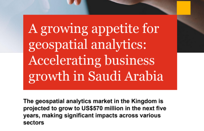
Geospatial analytics is a growing field in business intelligence and data science that utilizes location intelligence to understand spatial context.
It identifies patterns and relationships that traditional data science methods cannot provide, offering quicker and more accurate decision-making. By using maps to visualize spatial information, it helps businesses enhance strategic planning and operational efficiency. For example, in urban planning, geospatial analytics can assist in balancing commercial and residential areas by analyzing land use trends and determining suitable zones for various activities. In emergency response situations, it can help identify high-risk areas, coordinate operations, and allocate resources efficiently during disasters or crises. In environmental monitoring and natural resource management, geospatial analysis is crucial for tracking land cover changes, biodiversity hotspots, and developing conservation strategies. It also aids in sustainable land use planning, water resource management, and climate change adaptation initiatives by providing insights into ecosystem dynamics and environmental vulnerabilities.
Region:
Published:
Author(s):
Language:
Geopolitical drivers:
Found an inaccuracy in the description? Let us know 🙌